URBANLOGIX
Putting sustainable deliveries on the urban planning agenda
The EIT Urban Mobility education project UrbanLogix, funded by the European Institute of Innovation & Technology (EIT), tackled the rising pressure that growing e-commerce and delivery fleets place on cities. As urban areas struggled with congestion, emissions and poorly coordinated logistics activity, the project worked to bridge the gap between delivery demand and sustainable mobility goals.
Through collaboration between VEFRESH, Latvijas Pasts, and Acceler8, UrbanLogix strengthened cities’ ability to plan deliveries in a smarter, more sustainable way. The project mapped key logistics challenges, built competence among public and private stakeholders, and promoted innovation in first- and last-mile solutions.
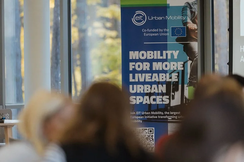
A central ambition of UrbanLogix was to ensure that urban logistics becomes a core element of Sustainable Urban Mobility Plans (SUMPs), helping cities integrate evidence-based practices, reduce the negative impact of delivery traffic, and create more liveable, efficient urban environments.
Expert Interviews
As part of the UrbanLogix project, we spoke with urban mobility, logistics and policy experts to capture practical insights on sustainable urban logistics and last-mile delivery. The interviews explore real-world challenges cities face today, the role of public–private collaboration, and how logistics can be better integrated into Sustainable Urban Mobility Plans (SUMPs).
Through these conversations, experts share lessons learned, emerging trends and actionable perspectives that support cities, planners and businesses in developing smarter, cleaner and more resilient urban delivery systems.
Raffaele Vergnani, Urban Freight Cluster Lead, Polis Network
Raffaele Vergnani, Urban Freight Cluster Lead at the POLIS Network, gives his insight on the pan-European cooperation aspect of sustainable urban mobility planning, especially in the area of urban freight and last-mile logistics. POLIS Network is a European network of cities and regions working together to improve urban transport and mobility. Through projects, working groups, and policy advocacy, POLIS helps cities test new approaches, share best practices, and turn mobility strategies into practical, real-world solutions.
Baiba Miltoviča, President of the “Transport, Energy, Infrastructure and Information Society” Section of the EESC
Baiba Miltoviča represents the European Economic and Social Committee, where she works on transport and mobility policy from a civil society perspective. She highlights the crucial role of civil society in urban planning, stressing that cities become more effective, inclusive and sustainable when residents, NGOs and social partners are actively involved in decision-making.
In-Person Events
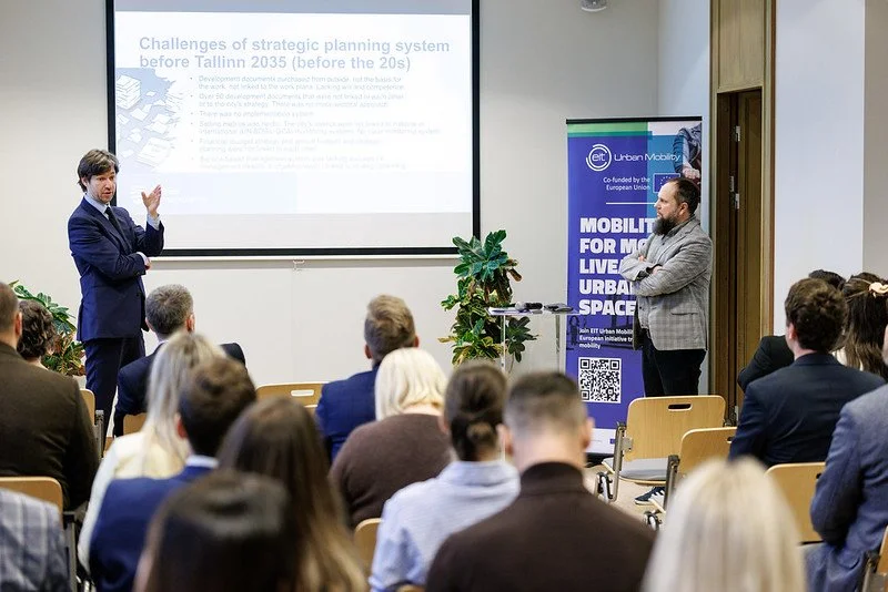
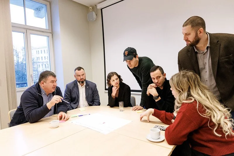
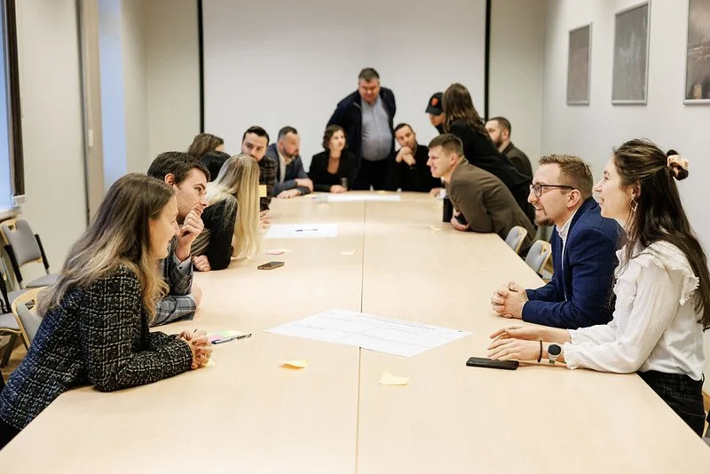
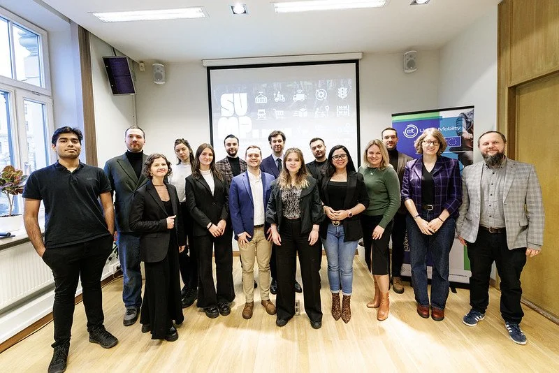
Across the UrbanLogix project, five in-person events were organised by project partners to ensure continuous dialogue and knowledge exchange across regions.
The series began with the first event in Riga (03.07), which laid the groundwork by mapping key urban logistics challenges and aligning stakeholders around shared priorities. The second event was held in Malta (17.10) and introduced the audience to the topics of urban logistics planning. This was followed by a third event in Jūrmala (29.10), where discussions moved a step further by linking urban logistics more closely with SUMP development through hands-on workshops and co-creation. The fourth event in Malta (14.11) broadened the perspective beyond the Baltic region, introducing Mediterranean experiences and policy contexts, while the fifth and final event in Riga (04.12) brought all regional insights together, enabling participants to reflect, compare approaches, and translate lessons into concrete, actionable takeaways for SUMPs.
04.12.2025. SUMP in Baltics: How the Baltics are progressing in implementing sustainable urban mobility plans (SUMPs)
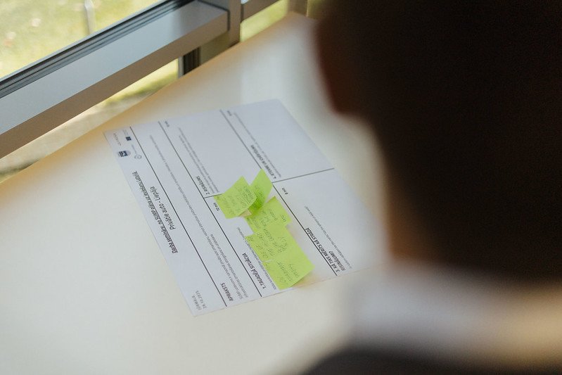
Across all events, the core purpose was simple but powerful: bringing the people who matter into the same room to move from ideas to action. By convening city representatives, ministries, mobility and logistics experts, researchers, and private-sector innovators, the events created space for open dialogue, shared learning, and practical collaboration. Their added value lay in breaking down silos, aligning public and private perspectives, testing real challenges through interactive formats, and turning regional experiences into insights that cities can directly apply in their Sustainable Urban Mobility and urban logistics planning.
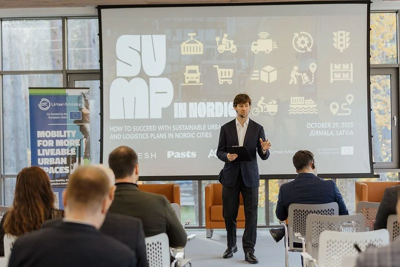

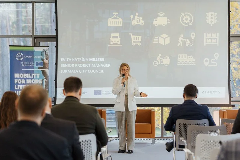


29.10.2025. SUMP in Nordics: How to succeed with sustainable urban mobility and logistics plans


04.12.2025. SUMP in Baltics: How the Baltics are progressing in implementing sustainable
Assessment Report
The UrbanLogix Assessment report provides an overview of the current situation of urban logistics and last-mile delivery in cities, across Latvia and Malta. It identifies the main challenges, gaps and pressure points affecting deliveries, traffic, emissions and the use of public space. By analysing existing practices, policies and local conditions, the paper helps cities better understand where improvements are needed and creates a solid basis for informed planning and future actions.
(Report will be published shortly)
Green Action Recommendations
The Green Action Plan provides a strategic overview of how cities can address the growing challenges of urban logistics and last-mile delivery in a sustainable way. It outlines key issues facing municipalities today and presents clear, actionable guidance to support better planning and decision-making. Developed in close collaboration with industry stakeholders, including logistics operators, municipalities, ministries, NGOs and academic experts, the Action Plan offers recommendations for integrating sustainable logistics solutions into planning frameworks such as Sustainable Urban Mobility Plans (SUMPs), helping cities improve efficiency, reduce environmental impacts and enhance urban liveability.
(Paper will be published shortly)
Learning Materials
The EIT-developed courses “Last Mile Logistics” and “Sustainable Urban Logistics” provide valuable knowledge on how to plan and manage urban deliveries in a sustainable way.
The courses explore last-mile delivery challenges, efficient delivery models, the role of data and planning policies, and solutions to reduce emissions, congestion, and pressure on public space infrastructure. The aim is to help participants understand how to integrate urban logistics into mobility planning and collaborate with the private sector to create more efficient and people-friendly cities.
BEGINNER | 3 MODULES | 1 h
Sustainable Urban Logistics
This course aims to explore supply chain management challenges and possible solutions.
BEGINNER | 3 MODULES | 1 h 30 min
Last Mile Logistics
Getting your parcel delivered at home or groceries delivered to a local supermarket is a dirty business! Learn the different ways the Last Mile can change and become more sustainable.